
高村 topographic map
Interactive map
Click on the map to display elevation.
About this map
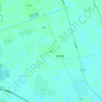
Name: 高村 topographic map, elevation, terrain.
Location: 高村, 武清区, 天津市, 中国 (39.61951 116.85157 39.65951 116.89157)
Average elevation: 43 ft
Minimum elevation: 33 ft
Maximum elevation: 52 ft
Other topographic maps
Click on a map to view its topography, its elevation and its terrain.