
Lake Tyler topographic map
Click on the map to display elevation.
About this map
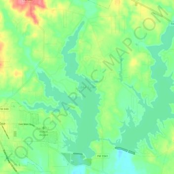
Name: Lake Tyler topographic map, elevation, terrain.
Location: Lake Tyler, Smith County, Texas, United States (32.20843 -95.20871 32.28392 -95.10001)
Average elevation: 423 ft
Minimum elevation: 322 ft
Maximum elevation: 633 ft
Smith County trails, hiking, mountain biking, running and outdoor activities
Other topographic maps
Click on a map to view its topography, its elevation and its terrain.