
智仁乡 topographic map
Interactive map
Click on the map to display elevation.
About this map
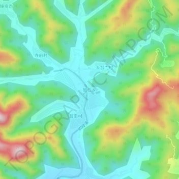
Name: 智仁乡 topographic map, elevation, terrain.
Location: 智仁乡, 温州市, 浙江省, 中国 (28.47258 121.09905 28.51258 121.13905)
Average elevation: 600 ft
Minimum elevation: 161 ft
Maximum elevation: 1,565 ft
Other topographic maps
Click on a map to view its topography, its elevation and its terrain.