
甲鼎山 topographic map
Interactive map
Click on the map to display elevation.
About this map
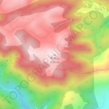
Name: 甲鼎山 topographic map, elevation, terrain.
Location: 甲鼎山, 温州市, 浙江省, 中国 (27.37299 120.47044 27.37309 120.47054)
Average elevation: 1,926 ft
Minimum elevation: 728 ft
Maximum elevation: 2,664 ft
Other topographic maps
Click on a map to view its topography, its elevation and its terrain.