
双峰乡 topographic map
Interactive map
Click on the map to display elevation.
About this map
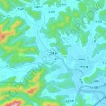
Name: 双峰乡 topographic map, elevation, terrain.
Location: 双峰乡, 温州市, 浙江省, 中国 (28.37958 121.08709 28.45958 121.16709)
Average elevation: 338 ft
Minimum elevation: 3 ft
Maximum elevation: 2,300 ft
Other topographic maps
Click on a map to view its topography, its elevation and its terrain.