
樟岙村 topographic map
Interactive map
Click on the map to display elevation.
About this map
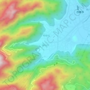
Name: 樟岙村 topographic map, elevation, terrain.
Location: 樟岙村, 温州市, 浙江省, 中国 (28.18143 120.91635 28.22143 120.95635)
Average elevation: 781 ft
Minimum elevation: 46 ft
Maximum elevation: 2,195 ft
Other topographic maps
Click on a map to view its topography, its elevation and its terrain.