
红羊乡 topographic map
Interactive map
Click on the map to display elevation.
About this map
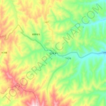
Name: 红羊乡 topographic map, elevation, terrain.
Location: 红羊乡, 海原县, 中卫市, 宁夏回族自治区, 中国 (36.21996 105.57834 36.29996 105.65834)
Average elevation: 7,382 ft
Minimum elevation: 6,657 ft
Maximum elevation: 8,383 ft
Other topographic maps
Click on a map to view its topography, its elevation and its terrain.