
西安镇 topographic map
Interactive map
Click on the map to display elevation.
About this map
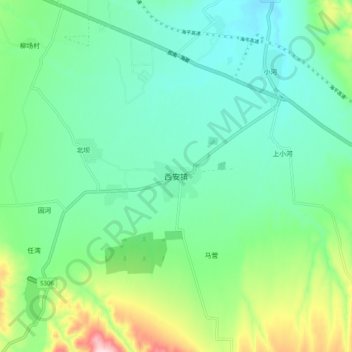
Name: 西安镇 topographic map, elevation, terrain.
Location: 西安镇, 海原县, 中卫市, 宁夏回族自治区, 中国 (36.55798 105.45027 36.63798 105.53027)
Average elevation: 5,771 ft
Minimum elevation: 5,499 ft
Maximum elevation: 6,555 ft
Other topographic maps
Click on a map to view its topography, its elevation and its terrain.