
海原县 topographic map
Interactive map
Click on the map to display elevation.
About this map
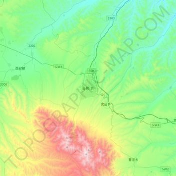
Name: 海原县 topographic map, elevation, terrain.
Location: 海原县, 中卫市, 宁夏回族自治区, 中国 (36.40148 105.48336 36.72148 105.80336)
Average elevation: 6,289 ft
Minimum elevation: 5,013 ft
Maximum elevation: 9,603 ft
Other topographic maps
Click on a map to view its topography, its elevation and its terrain.