
甘盐池 topographic map
Interactive map
Click on the map to display elevation.
About this map
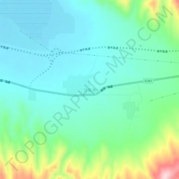
Name: 甘盐池 topographic map, elevation, terrain.
Location: 甘盐池, 海原县, 中卫市, 宁夏回族自治区, 中国 (36.63000 105.26028 36.67000 105.30028)
Average elevation: 6,690 ft
Minimum elevation: 6,483 ft
Maximum elevation: 7,343 ft
Other topographic maps
Click on a map to view its topography, its elevation and its terrain.