Geolocate

Odin topographic map

Click on the map to display elevation.

About this map

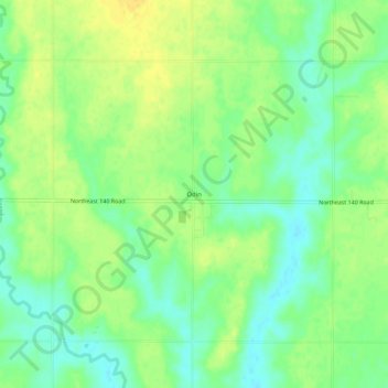
Name: Odin topographic map, elevation, terrain.

Location: Odin, Barton County, Kansas, 67525, United States (38.54612 -98.62869 38.58612 -98.58869)

Average elevation: 1,854 ft

Minimum elevation: 1,811 ft

Maximum elevation: 1,890 ft

Barton County trails, hiking, mountain biking, running and outdoor activities

Other topographic maps

Click on a map to view its topography, its elevation and its terrain.

Barton Lake

United States > Kansas > Barton County

Average elevation: 1,890 ft

Hoisington

United States > Kansas > Barton County

Average elevation: 1,844 ft

Cheyenne Bottoms

United States > Kansas > Barton County

Average elevation: 1,821 ft

Gear up for your next adventure:

🩹Survival Bandages - High‑quality bandages for emergencies
🦟Ultrasonic Repellers - Create a bug-free zone at your camp or rest stop
🧭Hiking Compass - Precision compass for reliable navigation in the wilderness
🪶Trail Camera - Capture wildlife on your hikes
📱Heavy-Duty Phone Cases - Drop-proof and waterproof protection for outdoor navigation

As an Amazon Associate, this site earns from qualifying purchases at no extra cost to you.