
Sidi Alouane topographic map
Interactive map
Click on the map to display elevation.
About this map
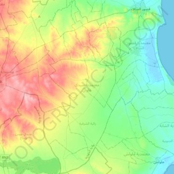
Name: Sidi Alouane topographic map, elevation, terrain.
Location: Sidi Alouane, Mahdia, Tunisie (35.14516 10.79387 35.43046 10.95987)
Average elevation: 164 ft
Minimum elevation: -10 ft
Maximum elevation: 469 ft
Other topographic maps
Click on a map to view its topography, its elevation and its terrain.