
Melloulech topographic map
Interactive map
Click on the map to display elevation.
About this map
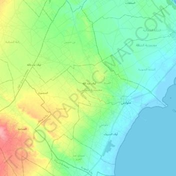
Name: Melloulech topographic map, elevation, terrain.
Location: Melloulech, Mahdia, 5114, Tunisie (35.08895 10.90733 35.27108 11.08684)
Average elevation: 82 ft
Minimum elevation: -13 ft
Maximum elevation: 289 ft
Other topographic maps
Click on a map to view its topography, its elevation and its terrain.