
双碑街道 topographic map
Interactive map
Click on the map to display elevation.
About this map
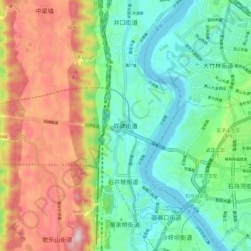
Name: 双碑街道 topographic map, elevation, terrain.
Location: 双碑街道, 沙坪坝区, 重庆市, 400030, 中国 (29.56670 106.39900 29.64670 106.47900)
Average elevation: 1,083 ft
Minimum elevation: 525 ft
Maximum elevation: 2,103 ft
Other topographic maps
Click on a map to view its topography, its elevation and its terrain.