
永祥社区 topographic map
Interactive map
Click on the map to display elevation.
About this map
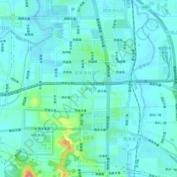
Name: 永祥社区 topographic map, elevation, terrain.
Location: 永祥社区, 沙坪坝区, 重庆市, 中国 (29.59105 106.34261 29.63105 106.38261)
Average elevation: 961 ft
Minimum elevation: 902 ft
Maximum elevation: 1,276 ft
Other topographic maps
Click on a map to view its topography, its elevation and its terrain.