
磨市镇 topographic map
Interactive map
Click on the map to display elevation.
About this map
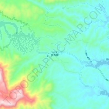
Name: 磨市镇 topographic map, elevation, terrain.
Location: 磨市镇, 宜昌市, 湖北省, 中国 (30.36852 111.18936 30.44852 111.26936)
Average elevation: 837 ft
Minimum elevation: 223 ft
Maximum elevation: 3,045 ft
Other topographic maps
Click on a map to view its topography, its elevation and its terrain.