
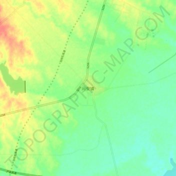
问安镇 topographic map
Interactive map
Click on the map to display elevation.
About this map
Name: 问安镇 topographic map, elevation, terrain.
Location: 问安镇, 宜昌市, 湖北省, 中国 (30.48434 111.78273 30.56434 111.86273)
Average elevation: 177 ft
Minimum elevation: 112 ft
Maximum elevation: 276 ft
Other topographic maps
Click on a map to view its topography, its elevation and its terrain.