
远安县 topographic map
Interactive map
Click on the map to display elevation.
About this map
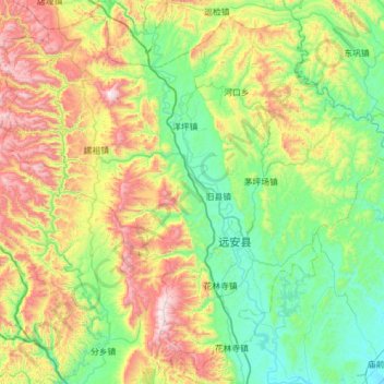
Name: 远安县 topographic map, elevation, terrain.
Location: 远安县, 宜昌市, 湖北省, 中国 (30.88445 111.25772 31.37529 111.87961)
Average elevation: 1,447 ft
Minimum elevation: 194 ft
Maximum elevation: 4,236 ft
Other topographic maps
Click on a map to view its topography, its elevation and its terrain.