
兴山县 topographic map
Interactive map
Click on the map to display elevation.
About this map
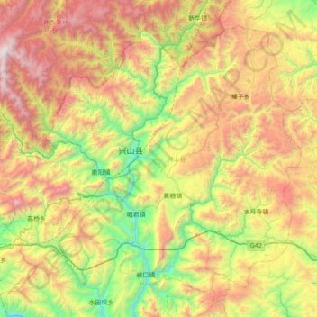
Name: 兴山县 topographic map, elevation, terrain.
Location: 兴山县, 宜昌市, 湖北省, 443799, 中国 (31.08585 110.42255 31.58139 111.11283)
Average elevation: 3,871 ft
Minimum elevation: 203 ft
Maximum elevation: 9,442 ft
Other topographic maps
Click on a map to view its topography, its elevation and its terrain.