
夷陵区 topographic map
Interactive map
Click on the map to display elevation.
About this map
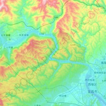
Name: 夷陵区 topographic map, elevation, terrain.
Location: 夷陵区, 宜昌市, 湖北省, 中国, 葛洲坝水库 (30.73480 110.99774 30.85954 111.33206)
Average elevation: 1,240 ft
Minimum elevation: 115 ft
Maximum elevation: 4,232 ft
Other topographic maps
Click on a map to view its topography, its elevation and its terrain.