Geolocate

Findlay topographic map

Click on the map to display elevation.

About this map

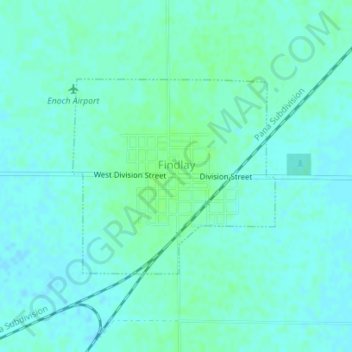
Name: Findlay topographic map, elevation, terrain.

Location: Findlay, Shelby County, Illinois, 62534, United States (39.51414 -88.76403 39.52910 -88.74389)

Average elevation: 673 ft

Minimum elevation: 663 ft

Maximum elevation: 689 ft

Shelby County trails, hiking, mountain biking, running and outdoor activities

Other topographic maps

Click on a map to view its topography, its elevation and its terrain.

Todds Point

United States > Illinois > Shelby County

Average elevation: 656 ft

Westervelt

United States > Illinois > Shelby County

Average elevation: 656 ft

Shelbyville

United States > Illinois > Shelby County > Shelbyville

Average elevation: 620 ft

Gear up for your next adventure:

🪶Wildlife Field Guides - Learn animal tracking and species ID
🔊Portable Camp Speaker - Music and alerts at camp
🦟Ultrasonic Repellers - Create a bug-free zone at your camp or rest stop
🧴Hand Sanitizer - Keep hands clean while hiking
📷Action Camera - Capture your outdoor adventures in HD

As an Amazon Associate, this site earns from qualifying purchases at no extra cost to you.