
者海镇 topographic map
Interactive map
Click on the map to display elevation.
About this map
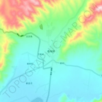
Name: 者海镇 topographic map, elevation, terrain.
Location: 者海镇, 会泽县, 曲靖市, 云南省, 中国 (26.51617 103.58212 26.59617 103.66212)
Average elevation: 7,060 ft
Minimum elevation: 6,614 ft
Maximum elevation: 8,432 ft
Other topographic maps
Click on a map to view its topography, its elevation and its terrain.