
岩洞 topographic map
Interactive map
Click on the map to display elevation.
About this map
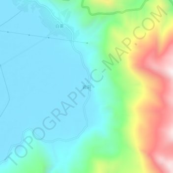
Name: 岩洞 topographic map, elevation, terrain.
Location: 岩洞, 会泽县, 曲靖市, 云南省, 中国 (26.45260 103.18100 26.49260 103.22100)
Average elevation: 7,044 ft
Minimum elevation: 6,299 ft
Maximum elevation: 9,222 ft
Other topographic maps
Click on a map to view its topography, its elevation and its terrain.