
大黄 topographic map
Interactive map
Click on the map to display elevation.
About this map
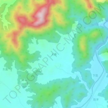
Name: 大黄 topographic map, elevation, terrain.
Location: 大黄, 仙游县, 莆田市, 福建省, 中国 (25.21598 118.71929 25.25598 118.75929)
Average elevation: 512 ft
Minimum elevation: 141 ft
Maximum elevation: 1,578 ft
Other topographic maps
Click on a map to view its topography, its elevation and its terrain.