
枫亭镇 topographic map
Interactive map
Click on the map to display elevation.
About this map
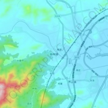
Name: 枫亭镇 topographic map, elevation, terrain.
Location: 枫亭镇, 仙游县, 莆田市, 福建省, 中国 (25.20485 118.80976 25.28485 118.88976)
Average elevation: 256 ft
Minimum elevation: -7 ft
Maximum elevation: 2,192 ft
Other topographic maps
Click on a map to view its topography, its elevation and its terrain.