
雪山 topographic map
Interactive map
Click on the map to display elevation.
About this map
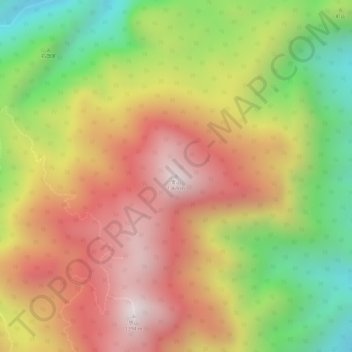
Name: 雪山 topographic map, elevation, terrain.
Location: 雪山, 仙游县, 莆田市, 福建省, 中国 (25.62682 118.68189 25.62692 118.68199)
Average elevation: 3,232 ft
Minimum elevation: 1,752 ft
Maximum elevation: 4,393 ft
Other topographic maps
Click on a map to view its topography, its elevation and its terrain.