Geolocate

Fortaleza topographic map

Click on the map to display elevation.

About this map

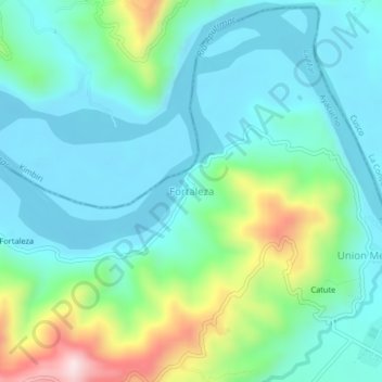
Name: Fortaleza topographic map, elevation, terrain.

Location: Fortaleza, Santa Rosa, La Mar, Ayacucho, Peru (-12.67596 -73.75845 -12.63596 -73.71845)

Average elevation: 2,260 ft

Minimum elevation: 1,906 ft

Maximum elevation: 3,419 ft

Other topographic maps

Click on a map to view its topography, its elevation and its terrain.

Acocro

Peru > Ayacucho

Average elevation: 12,133 ft

Jesús Nazareno

Peru > Ayacucho

Average elevation: 8,891 ft

Quinua

Peru > Ayacucho

Average elevation: 10,709 ft

Puquio

Peru > Ayacucho

Average elevation: 12,293 ft

Huamanga

Peru > Ayacucho

Average elevation: 11,749 ft

Huanta

Peru > Ayacucho

Average elevation: 8,852 ft

Tambo

Peru > Ayacucho

Average elevation: 12,402 ft

Gear up for your next adventure:

🌎3D Topographic Globes - Raised relief globes for a tactile understanding of geography
🧭GPS Watch Accessories - Bands and chargers for GPS watches
🛰️Handheld GPS Units - Professional satellite navigators for precise backcountry mapping
🪑Ultralight Camp Chairs - Portable seating for resting after a long day of mapping
📦Gear Storage Bags - Organize and protect outdoor equipment

As an Amazon Associate, this site earns from qualifying purchases at no extra cost to you.