
八河二村 topographic map
Interactive map
Click on the map to display elevation.
About this map
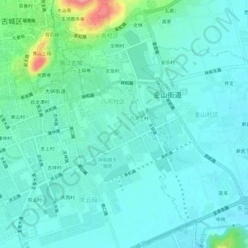
Name: 八河二村 topographic map, elevation, terrain.
Location: 八河二村, 古城区, 丽江市, 云南省, 674100, 中国 (26.84393 100.22486 26.88393 100.26486)
Average elevation: 7,835 ft
Minimum elevation: 7,772 ft
Maximum elevation: 8,114 ft
Other topographic maps
Click on a map to view its topography, its elevation and its terrain.