
束河街道 topographic map
Interactive map
Click on the map to display elevation.
About this map
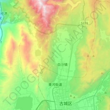
Name: 束河街道 topographic map, elevation, terrain.
Location: 束河街道, 古城区, 丽江市, 云南省, 中国 (26.86673 100.16323 27.08313 100.33454)
Average elevation: 9,505 ft
Minimum elevation: 6,099 ft
Maximum elevation: 16,289 ft
Other topographic maps
Click on a map to view its topography, its elevation and its terrain.