
金安镇 topographic map
Interactive map
Click on the map to display elevation.
About this map
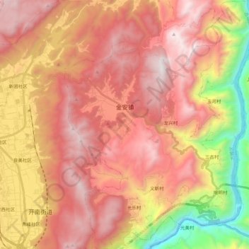
Name: 金安镇 topographic map, elevation, terrain.
Location: 金安镇, 古城区, 丽江市, 云南省, 中国 (26.77949 100.31669 26.94360 100.45941)
Average elevation: 8,251 ft
Minimum elevation: 4,209 ft
Maximum elevation: 11,017 ft
Other topographic maps
Click on a map to view its topography, its elevation and its terrain.