
卜贤 topographic map
Interactive map
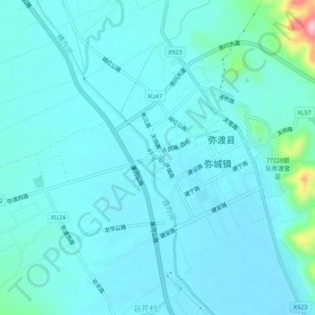
Click on the map to display elevation.
About this map
Name: 卜贤 topographic map, elevation, terrain.
Location: 卜贤, 弥渡县, 大理白族自治州, 云南省, 中国 (25.32451 100.46080 25.36451 100.50080)
Average elevation: 5,522 ft
Minimum elevation: 5,453 ft
Maximum elevation: 6,037 ft
Other topographic maps
Click on a map to view its topography, its elevation and its terrain.