
南西村 topographic map
Interactive map
Click on the map to display elevation.
About this map
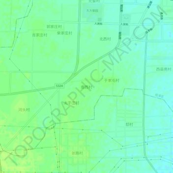
Name: 南西村 topographic map, elevation, terrain.
Location: 南西村, 邢台市, 河北省, 054000, 中国 (37.08584 114.63405 37.12584 114.67405)
Average elevation: 151 ft
Minimum elevation: 131 ft
Maximum elevation: 167 ft
Other topographic maps
Click on a map to view its topography, its elevation and its terrain.