
东汪镇 topographic map
Interactive map
Click on the map to display elevation.
About this map
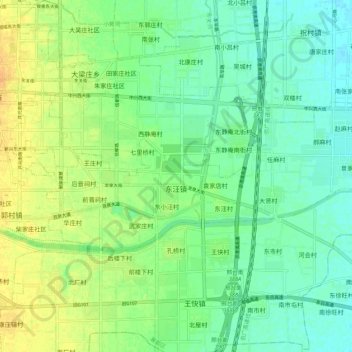
Name: 东汪镇 topographic map, elevation, terrain.
Location: 东汪镇, 襄都区, 邢台市, 河北省, 054000, 中国 (37.02392 114.51717 37.06042 114.62509)
Average elevation: 200 ft
Minimum elevation: 164 ft
Maximum elevation: 249 ft
Other topographic maps
Click on a map to view its topography, its elevation and its terrain.