
北天井村 topographic map
Interactive map
Click on the map to display elevation.
About this map
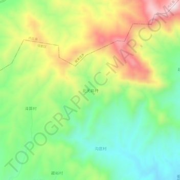
Name: 北天井村 topographic map, elevation, terrain.
Location: 北天井村, 邢台市, 河北省, 054000, 中国 (37.29325 114.10880 37.33325 114.14880)
Average elevation: 1,969 ft
Minimum elevation: 1,250 ft
Maximum elevation: 3,028 ft
Other topographic maps
Click on a map to view its topography, its elevation and its terrain.