
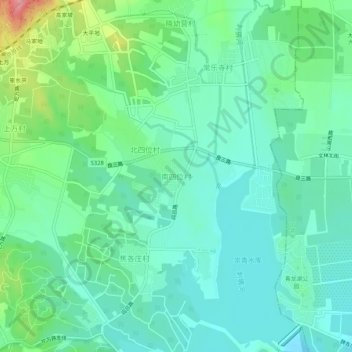
南四位村 topographic map
Interactive map
Click on the map to display elevation.
About this map
Name: 南四位村 topographic map, elevation, terrain.
Location: 南四位村, 房山区, 北京市, 中国 (39.78739 116.04452 39.82739 116.08452)
Average elevation: 305 ft
Minimum elevation: 200 ft
Maximum elevation: 614 ft
Other topographic maps
Click on a map to view its topography, its elevation and its terrain.