
小十三里村 topographic map
Interactive map
Click on the map to display elevation.
About this map
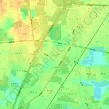
Name: 小十三里村 topographic map, elevation, terrain.
Location: 小十三里村, 房山区, 北京市, 102402, 中国 (39.65892 116.07225 39.69892 116.11225)
Average elevation: 144 ft
Minimum elevation: 85 ft
Maximum elevation: 187 ft
Other topographic maps
Click on a map to view its topography, its elevation and its terrain.