
马各庄村 topographic map
Interactive map
Click on the map to display elevation.
About this map
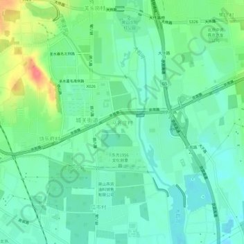
Name: 马各庄村 topographic map, elevation, terrain.
Location: 马各庄村, 房山区, 北京市, 102400, 中国 (39.68384 115.99514 39.72384 116.03514)
Average elevation: 157 ft
Minimum elevation: 95 ft
Maximum elevation: 312 ft
Other topographic maps
Click on a map to view its topography, its elevation and its terrain.