
双阳乡 topographic map
Interactive map
Click on the map to display elevation.
About this map
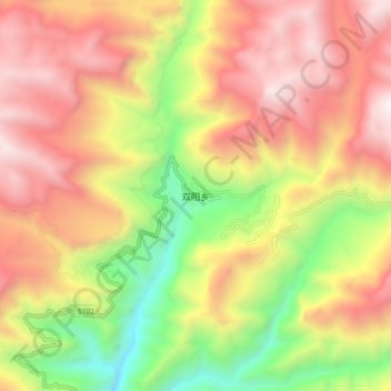
Name: 双阳乡 topographic map, elevation, terrain.
Location: 双阳乡, 巫溪县, 重庆市, 中国 (31.43660 109.78302 31.51660 109.86302)
Average elevation: 5,020 ft
Minimum elevation: 1,663 ft
Maximum elevation: 7,969 ft
Other topographic maps
Click on a map to view its topography, its elevation and its terrain.