
兰英乡 topographic map
Interactive map
Click on the map to display elevation.
About this map
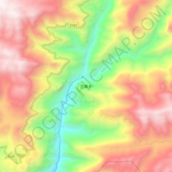
Name: 兰英乡 topographic map, elevation, terrain.
Location: 兰英乡, 巫溪县, 重庆市, 中国 (31.38465 109.76362 31.46465 109.84362)
Average elevation: 4,281 ft
Minimum elevation: 1,017 ft
Maximum elevation: 7,362 ft
Other topographic maps
Click on a map to view its topography, its elevation and its terrain.