
通城镇 topographic map
Interactive map
Click on the map to display elevation.
About this map
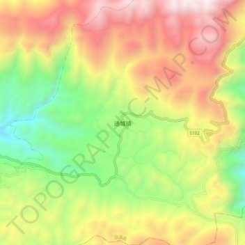
Name: 通城镇 topographic map, elevation, terrain.
Location: 通城镇, 巫溪县, 重庆市, 中国 (31.35513 109.69527 31.43513 109.77527)
Average elevation: 3,875 ft
Minimum elevation: 958 ft
Maximum elevation: 7,106 ft
Other topographic maps
Click on a map to view its topography, its elevation and its terrain.