
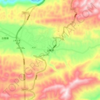
上磺镇 topographic map
Interactive map
Click on the map to display elevation.
About this map
Name: 上磺镇 topographic map, elevation, terrain.
Location: 上磺镇, 巫溪县, 重庆市, 中国 (31.28032 109.44402 31.36032 109.52402)
Average elevation: 3,035 ft
Minimum elevation: 1,394 ft
Maximum elevation: 4,416 ft
Other topographic maps
Click on a map to view its topography, its elevation and its terrain.