
Rea topographic map
Click on the map to display elevation.
About this map
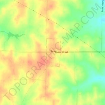
Name: Rea topographic map, elevation, terrain.
Location: Rea, Andrew County, Missouri, United States (40.05805 -94.76697 40.06519 -94.76212)
Average elevation: 1,037 ft
Minimum elevation: 942 ft
Maximum elevation: 1,099 ft
Andrew County trails, hiking, mountain biking, running and outdoor activities
Other topographic maps
Click on a map to view its topography, its elevation and its terrain.