
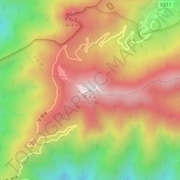
太子尖 topographic map
Interactive map
Click on the map to display elevation.
About this map
Name: 太子尖 topographic map, elevation, terrain.
Location: 太子尖, 临安区, 浙江省, 中国 (30.17555 118.89965 30.17565 118.89975)
Average elevation: 3,947 ft
Minimum elevation: 2,654 ft
Maximum elevation: 5,030 ft
Other topographic maps
Click on a map to view its topography, its elevation and its terrain.