
下山 topographic map
Interactive map
Click on the map to display elevation.
About this map
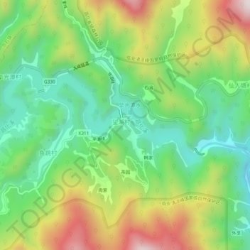
Name: 下山 topographic map, elevation, terrain.
Location: 下山, 临安区, 杭州市, 浙江省, 中国 (30.26531 119.00395 30.30531 119.04395)
Average elevation: 1,962 ft
Minimum elevation: 1,066 ft
Maximum elevation: 3,379 ft
Other topographic maps
Click on a map to view its topography, its elevation and its terrain.