
锦北街道 topographic map
Interactive map
Click on the map to display elevation.
About this map
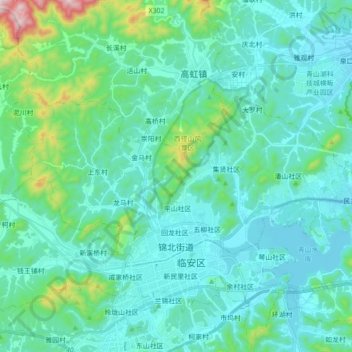
Name: 锦北街道 topographic map, elevation, terrain.
Location: 锦北街道, 临安区, 杭州市, 浙江省, 311300, 中国 (30.23506 119.63010 30.31301 119.80534)
Average elevation: 394 ft
Minimum elevation: 56 ft
Maximum elevation: 2,329 ft
Other topographic maps
Click on a map to view its topography, its elevation and its terrain.