
Idalou topographic map
Click on the map to display elevation.
About this map
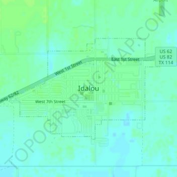
Name: Idalou topographic map, elevation, terrain.
Location: Idalou, Lubbock County, Texas, United States (33.65445 -101.69856 33.66986 -101.67097)
Average elevation: 3,192 ft
Minimum elevation: 3,176 ft
Maximum elevation: 3,205 ft
Lubbock County trails, hiking, mountain biking, running and outdoor activities
Other topographic maps
Click on a map to view its topography, its elevation and its terrain.
Shallowater
United States > Texas > Lubbock County > Shallowater > Shallowater
Average elevation: 3,310 ft
Buffalo Springs Lake Dam
United States > Texas > Lubbock County > Buffalo Springs
Average elevation: 3,081 ft