
双明镇 topographic map
Interactive map
Click on the map to display elevation.
About this map
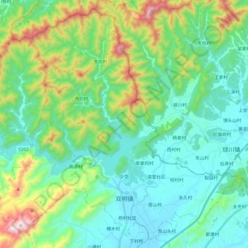
Name: 双明镇 topographic map, elevation, terrain.
Location: 双明镇, 玉山县, 上饶市, 江西省, 中国 (28.77402 118.17216 28.92662 118.35922)
Average elevation: 1,004 ft
Minimum elevation: 344 ft
Maximum elevation: 3,068 ft
Other topographic maps
Click on a map to view its topography, its elevation and its terrain.