Geolocate

Elizabeth topographic map

Click on the map to display elevation.

About this map

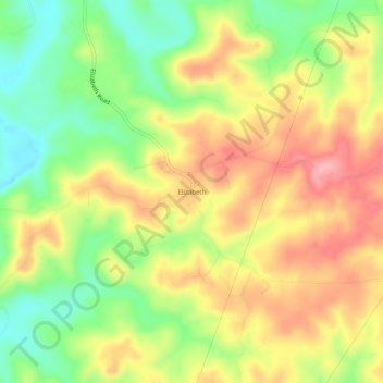
Name: Elizabeth topographic map, elevation, terrain.

Location: Elizabeth, Fulton County, Arkansas, United States (36.31146 -92.11599 36.35146 -92.07599)

Average elevation: 764 ft

Minimum elevation: 561 ft

Maximum elevation: 955 ft

Fulton County trails, hiking, mountain biking, running and outdoor activities

Other topographic maps

Click on a map to view its topography, its elevation and its terrain.

Mammoth Spring

United States > Arkansas > Fulton County

Average elevation: 610 ft

Salem

United States > Arkansas > Fulton County

Average elevation: 735 ft

Viola

United States > Arkansas > Fulton County

Average elevation: 879 ft

Mammoth Spring

United States > Arkansas > Fulton County

Average elevation: 610 ft

Gear up for your next adventure:

🪶Camping Sleeping Pad - Comfortable sleeping pad for backpacking
☀️Outdoor Sunscreen - High protection sunscreen for outdoor activities
🥾Women's Hiking Boots - Top-rated trail boots with ankle support and superior grip
🔥Plasma Lighters - Windproof lighters that work in any weather condition
🪑Portable Camp Table - Compact table for campsite meals

As an Amazon Associate, this site earns from qualifying purchases at no extra cost to you.