
北张庄镇 topographic map
Interactive map
Click on the map to display elevation.
About this map
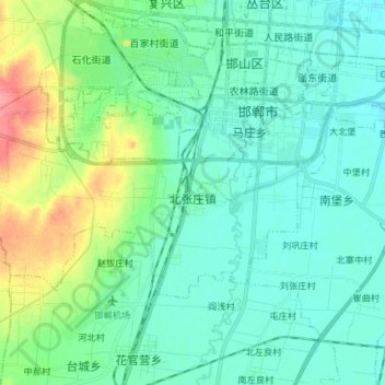
Name: 北张庄镇 topographic map, elevation, terrain.
Location: 北张庄镇, 邯山区, 邯郸市, 河北省, 056000, 中国 (36.52573 114.35156 36.59070 114.49839)
Average elevation: 236 ft
Minimum elevation: 177 ft
Maximum elevation: 433 ft
Other topographic maps
Click on a map to view its topography, its elevation and its terrain.