
娄里村 topographic map
Interactive map
Click on the map to display elevation.
About this map
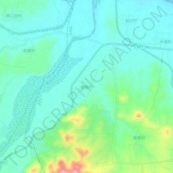
Name: 娄里村 topographic map, elevation, terrain.
Location: 娄里村, 邯郸市, 河北省, 056000, 中国 (36.77681 114.35729 36.81681 114.39729)
Average elevation: 348 ft
Minimum elevation: 230 ft
Maximum elevation: 741 ft
Other topographic maps
Click on a map to view its topography, its elevation and its terrain.